Remote sensing-based ecosystem monitoring
The EMSAfrica remote sensing team focuses on providing Earth Observations data to support the other work packages. We also work on the development of novel and improved techniques and approaches for the monitoring of savanna ecosystems, and for data processing.
During the project ARS AfricaE (2014-2018), our team constructed “space-time data cubes”, i.e. data libraries of multi-sensor and multi-temporal Earth observation data of a 5 x 5 km area around each of the project observation sites (see map, https://emsafrica.org/what-we-do). These cubes combine data from various air- and spaceborne sensors, and they will be continuously updated during the EMSAfrica project. We produce maps and statistics on such factors as vegetation structure, canopy height, land uses, plant types and Essential Biodiversity Variables (EBVs).
Furthermore, the remote sensing team is supporting for example the monitoring of fuelwood collection and the identification of different grazing types in the savanna ecosystems, as well as helping the management of national parks (e.g. South African National Parks, SANParks) by producing detailed vegetation maps.
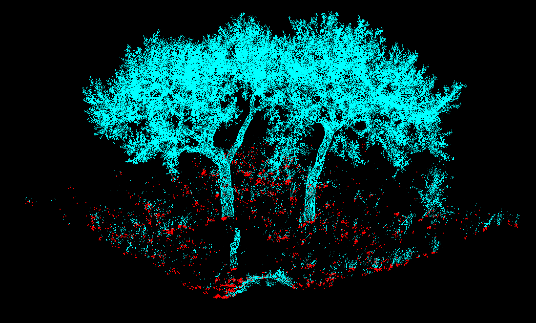
As part of the methodological development, we are also conducting detailed 3D vegetation structure scans at the observation sites. Terrestrial Laser Scanning (TLS) surveys or Unmanned Aerial Vehicle (UAV) flights are planned to be conducted in wet and dry season for all of the test sites.
Team: Christiane Schmullius (subproject lead, FSU Jena), Marcel Urban, Kai Heckel, Kuhle Ndyamboti (FSU Jena), Izak Smit (SANParks). Contact: marcel.urban@uni-jena.de